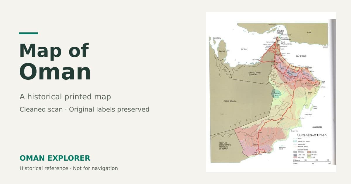
Map of Oman
A map of Oman helps put the country's mountains, coastline and desert landscapes into perspective. This article shares a cleaned-up photograph of an older printed map, offering a useful overview of how the places on an Oman itinerary relate to one another.
Historical map notice: This is an older printed map, not a current road or administrative map. Its publication date and original publisher have not been confirmed. Some country names, boundaries, place-name spellings and roads are outdated. Use an up-to-date navigation service and official local advice for travel planning.
View the map of Oman
How to read this map
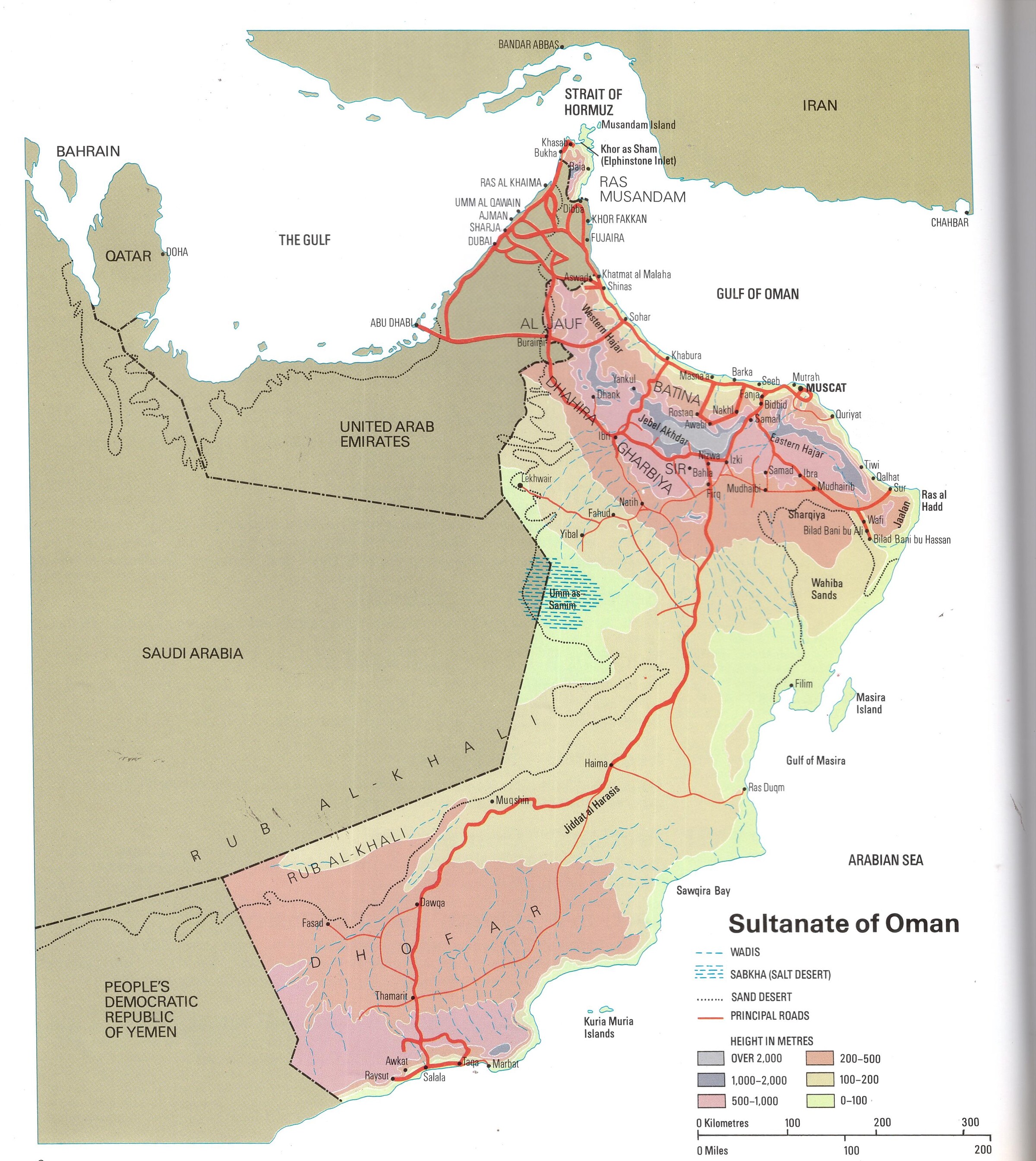
The printed legend identifies roads, wadis, sandy areas and height bands. These features help explain the broad shape of the landscape: a mountainous north, an extensive desert interior and a long coastline facing different stretches of sea.
Do not treat the marked roads as a complete or current driving network. A road shown here may have changed, and newer routes may not appear at all. The map's scale is also not a reliable way to calculate driving times, especially in mountain areas.
Northern Oman: Muscat, the coast and the Hajar Mountains
Look around Muscat and the northern coast to see the relationship between the capital, the coastal plain and the mountains inland. This is a helpful starting point for understanding itineraries that combine Muscat with places such as Nizwa, Jebel Akhdar and other destinations in the Hajar Mountains.
The map provides geographical context rather than directions to individual attractions. Check current access requirements, road conditions and the precise location of your accommodation separately.
Musandam and the Strait of Hormuz
Musandam appears at the northern end of the map, beside the Strait of Hormuz. Notice its separation from the main part of Oman. That distinction matters when planning a trip: travel arrangements can differ depending on whether you arrive by road, air or sea.
This historical image should not be used to make decisions about border crossings or entry requirements. Check current official guidance before travelling.
The desert interior and the eastern coast
The large inland spaces help show why distances in Oman can be easy to underestimate. The map also places the eastern coast, offshore islands and desert areas in relation to the better-known northern destinations.
For a self-drive itinerary, use a current map to identify fuel stops, accommodation and suitable roads. A line on an older map is not evidence that a route is open, surfaced or suitable for your vehicle.
Dhofar and southern Oman
Find Salalah and the Dhofar coast toward the south. Seeing them on the same map as Muscat makes the distance between the north and south much clearer. A visit to Dhofar needs its own transport planning rather than being treated as a short excursion from the capital.
Why some labels look different today
One clear sign of the map's age is the label “People's Democratic Republic of Yemen.” This is a historical country name, not the present-day name of Yemen. The map may also use spellings that differ from those used on current signs and travel services.
Keep this image as a visual and historical reference. It is not an official statement of present-day borders, administrative divisions or place names.
Using the map when planning a visit
- Use it to understand the broad relationship between coast, mountains, desert and southern Oman.
- Open the full-size image when reading small printed labels.
- Check every driving route against a current navigation service before setting out.
- Confirm border procedures, attraction access and local conditions with current official sources.
- Keep a current offline map available when travelling beyond reliable mobile coverage.
Image source: Photograph supplied to Oman Explorer. Original map publisher and publication date unconfirmed. The cleanup preserves the map's original printed content rather than updating its cartography.
Written by Farees
Travel writer and founder of Oman Explorer. Based in Muscat, Oman, with years of experience exploring the Sultanate's hidden gems, ancient forts, stunning wadis, and desert landscapes. Passionate about sharing authentic travel experiences and helping visitors discover the beauty of Oman.
Learn more about the authorMore Articles to Explore

Comments (0)
Sign in to comment
Create a free account or sign in to join the conversation.
No comments yet. Be the first to comment!